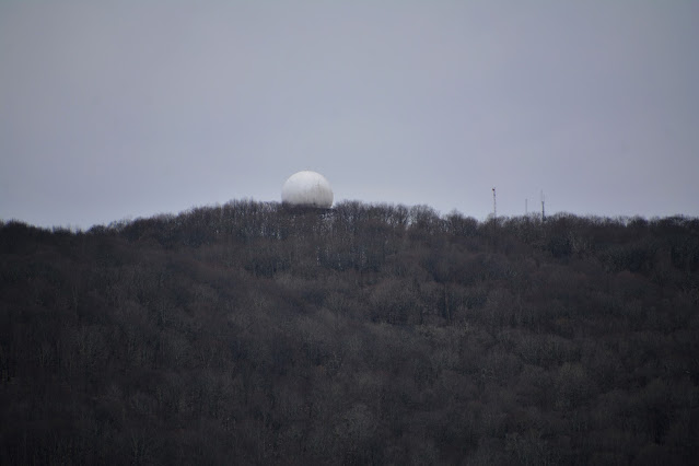
The Lynch FAA Radar Site sits just off the mountain peak. The FAA Long-Range Radar site first established in 1963, The site is used to identify and track military and civilian aircraft movements within a 200-mile radius and to provide air-ground communication with those aircraft. Assigned a SAGE System ID of Z-232 and an FAA ID of QRI. Active Radar Site
Easy drive to the access road to the peak. However, from there there is about a 2 1/2 mile trek walking up to the peak. If you have a vehicle that is off-road capable with at least 12" ground clearance, you should be able to drive almost all the way to the top. It is a very washed out and rutted dirt road. I was able to drive all the way up, but it is a bit bumpy.


No comments:
Post a Comment