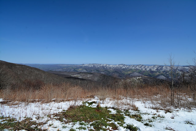
The latitude and longitude coordinates (GPS waypoints) of the summit of Spruce Knob are 38.699756 (North), -79.532993 (West) and the approximate elevation is 4861 feet (1482 meters) above sea level. Spruce Knob ranks 24th in height on the list of highest natural points in each state. Spruce Knob is also the highest point on the Allegheny Mountains. Located in Pendleton County.
Directions to Spruce Knob: In Seneca Rocks, take WV-28s/WV-55W and follow for about 10 miles, then turn right onto Briery Gap Run Rd. After about 2.4 miles continue onto FR 112. Follow FR 112 for about 7.4 miles until you reach the intersection with FR 104. Take a right onto FR 104 at the intersection and follow for about 1.6 miles to the observation tower. From there it is a short 100 yrds to the summit.


No comments:
Post a Comment