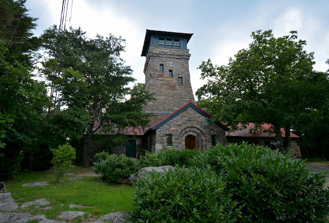
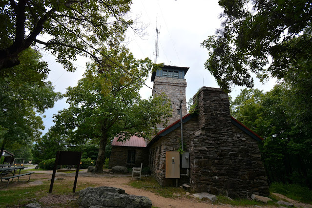
The latitude and longitude coordinates (GPS waypoints) of the summit of Cheaha Mountain are 33.485355 (North), -85.808632 (West), and the approximate elevation is 2405' (733 meters) above sea level. Cheaha Mountain ranks 35th in height on the list of highest natural points in each state. It is located Cleburne County. Cheaha Mountain is part of the Talladega Mountains, a final southern segment of the Blue Ridge Mountains. Cheaha (meaning"high place" in the Creek Indian language) is located in the Talladega National Forest.
The mountain is a host to several commercial and public service transmitters. The Calhoun County Amateur Radio Association has a repeater near the peak, and Alabama Public Television has its transmitter for WCIQ TV 7 on a tower 577' tall (176 meters).
To get to Cheaha Mountain from Birmingham, go east on I-20 to the Highway 431 exit. There will be a sign for Cheaha State Park. Follow the signs through several easy follow turns. After several miles, the road will run into the park entrance with a sign announcing the elevation of the mountain. Take the next right and go to the entrance gate.


No comments:
Post a Comment