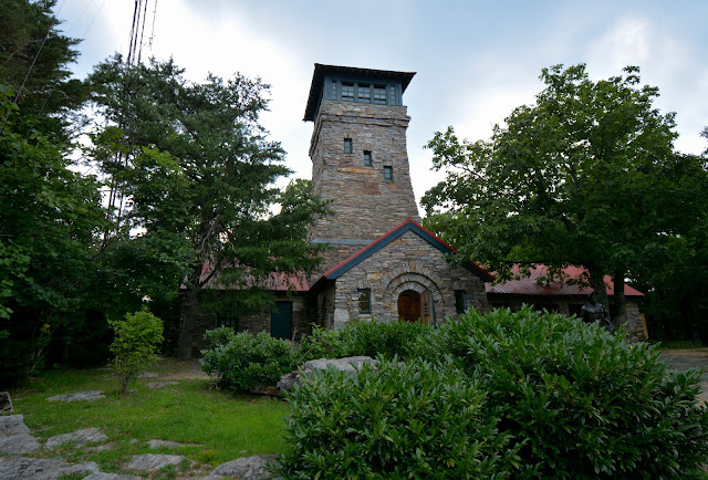
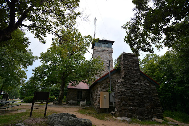
Scenery Around Spruce Knob, West Virginia

Scenery Around Spruce Knob, West Virginia

Tuesday, September 27, 2022

STATES HIGHEST POINTS

1.   Alaska : Denali at 20,320 feet (6,193 meters) *
2.   California: Mount Whitney at 14,495 feet (4,418 meters) 
3.   Colorado: Mount Elbert at 14,433 feet (4,399 meters)
4.   Washington: Mount Rainier at 14,411 feet (4,392 meters)
5.   Wyoming: Gannett Peak at 13,804 feet (4,207 meters)
6.   Hawaii: Mauna Kea at 13,796 feet (4,205 meters)
7.   Utah: King's Peak at 13,528 feet (4,123 meters)
8.   New Mexico: Wheeler Peak at 13,161 feet (4,011 meters)
9.   Nevada: Boundary Peak at 13,140 feet (4,005 meters)
10. Montana: Granite Peak at 12,799 feet (3,901 meters)
11. Idaho: Borah Peak at 12,662 feet (3,859 meters)
12. Arizona: Humphrey's Peak at 12,633 feet (3,850 meters)
13. Oregon: Mount Hood at 11,239 feet (3,425 meters)
14. Texas: Guadalupe Peak at 8,749 feet (2,667 meters)
15. South Dakota: Black Elk Peak at 7,242 feet (2,207 meters)**
19. Virginia: Mount Rogers at 5,729 feet (1,746 meters)
20. Nebraska: Panorama Point at 5,426 feet (1,654 meters)
21. New York: Mount Marcy at 5,344 feet (1,628 meters)
22. Maine: Katahdin at 5,268 feet (1,605 meters)
23. Oklahoma: Black Mesa at 4,973 feet (1,515 meters)
26. Vermont: Mount Mansfield at 4,393 feet (1,339 meters)
28. Kansas: Mount Sunflower at 4,039 feet (1,231 meters)
30. North Dakota: White Butte at 3,506 feet (1,068 meters)
31. Massachusetts: Mount Greylock at 3,488 feet (1,063 meters)
36. Connecticut: Mount Frissell at 2,372 feet (723 meters)
37. Minnesota: Eagle Mountain at 2,301 feet (701 meters) 
38. Michigan: Mount Arvon at 1,978 feet (603 meters)
39. Wisconsin: Timms Hill at 1,951 feet (594 meters)
42. Iowa: Hawkeye Point at 1,670 feet (509 meters)
45. Illinois: Charles Mound at 1,235 feet (376 meters)
46. Rhode Island: Jerimoth Hill at 812 feet (247 meters)
48. Louisiana: Driskill Mountain at 535 feet (163 meters)

*   Formerly Mount McKinley
** Formerly Harney Peak

Map of the 50 Highest Points:  
https://www.peakbagger.com/map/BigMap.aspx?miny=19.820679&maxy=63.069042&minx=-155.468024&maxx=-68.921392&l=GT&t=L&d=12004&c=0&bl=0&promtype=prom     

HIGH POINTS (18)

      In March of 2022,  I decided to make a photo-blog of me visiting the highest point in each state. A few years back, I met a couple at a kayak race in Illinois that were in a process of going to all 50 states highest points. I thought that it was an interesting idea and one that I would have to do one day. First of all, let's make one point clear, I am not out to climb each point, I am just personally visiting. If I can drive to a point, or drive to an easy walking point from parking my car, I am satisfied of my visitation. If need be, I will walk to the point as long as I can do the round-trip in one day. I do realize that it will be impossible for me to visit all 50 states high points; professional skill and supplement oxygen are needed in some ascents.

Below is a list of high points that I have presently been to.

HIGH POINT - NEW JERSEY


The latitude and longitude coordinates (GPS waypoints) of the summit of High Point are 41.320948 (North), -74.661562 (West), and the approximate elevation is 1803' (550 meters) above sea level. High Point ranks 40th in the height on the list of highest natural points in each state. High Point is located in Sussex County. High Point is located in the portion of the state known as the Skylands, and is the highest peak of the Kittatinny Mountains, which is located in the Northern Appalachian Ridges of the Appalachian Mountains.
High Point is located in High Point State Park; the land for the park was donated by Colonel Anthony R. and Susie Kuser of Bernardsville, New Jersey. The Monument which sits on High Point was built by Kuser to honor war veterans. Master mason Michael Maddaluna began construction of the 220 foot (67 meters) tower - which has a base which is 34 square feet - in 1928, and completed it in 1930.
The park headquarters is located 2.7 miles north of the small town of Colesville, New Jersey, and 6 miles south of Port Jervis, New York on State Route 23.

Monday, September 26, 2022

EBRIGHT AZIMUTH - BARKLEY, DELAWARE


 The latitude and longitude coordinates (GPS waypoints) of the summit Ebright Azimuth are 39.835955 (North), -75.522182 (West), and the approximate elevation is 450' (137 meters) above sea level. Ebright Azimuth ranks 49th in the height on the list of highest natural points in each state. It is located in New Castle County. It is less than a quarter mile, south from Pennsylvania's border. Surveying by the Delaware Geological Survey personnel indicates that the true highpoint is under a mobile home in the nearby mobile home park approximately 300 meters west of the benchmark monument sign. And the true highpoint is at least 2' higher than the benchmark sign. Another USGS Benchmark is placed at the true point on private property.

Ebright Azimuth is named after James and Grant Ebright who owned the property on which the benchmark was placed.

Sunday, August 28, 2022

TAUM SAUK MOUNTAIN - MISSOURI


The latitude and longitude coordinates (GPS waypoints) of the summit of Taum Sauk Mountain are 37.571301 (North), -90.729144 (West), and the approximate elevation is 1772' (540 meters) above sea level. Taum Sauk Mountain ranks 41st in height on the list of highest natural points in each state. It is located in Iron County. The mountain peak is located in the Saint Francois Mountains.
Taum Sauk Mountain is said to be named for a Piankeshaw chief named Sauk-Ton-Qua. 
To get to Taum Sauk mountain, head south on State Route 21 from Arcadia, Missouri for about 4 1/2 miles. Turn right onto HIghway CC which is signed for Taum Sauk Mountain State Park. After a few miles the pavement will end near a fork in the road. Take the right fork which leads to Taum Sauk Mountain State Park, the road will end into a parking lot. From there an approx. .5 mile path will lead to the marker.

Sunday, August 21, 2022

CHEAHA MOUNTAIN - ALABAMA


The latitude and longitude coordinates (GPS waypoints) of the summit of Cheaha Mountain are 33.485355 (North), -85.808632 (West), and the approximate elevation is 2405' (733 meters) above sea level. Cheaha Mountain ranks 35th in height on the list of highest natural points in each state. It is located Cleburne County. Cheaha Mountain is part of the Talladega Mountains, a final southern segment of the Blue Ridge Mountains. Cheaha (meaning"high place" in the Creek Indian language) is located in the Talladega National Forest.
The mountain is a host to several commercial and public service transmitters. The Calhoun County Amateur Radio Association has a repeater near the peak, and Alabama Public Television has its transmitter for WCIQ TV 7 on a tower 577' tall (176 meters).
To get to Cheaha Mountain from Birmingham, go east on I-20 to the Highway 431 exit. There will be a sign for Cheaha State Park. Follow the signs through several easy follow turns. After several miles, the road will run into the park entrance with a sign announcing the elevation of the mountain. Take the next right and go to the entrance gate.

Saturday, August 20, 2022

CLINGMANS DOME - TENNESSEE


Photographs from June 2014


The latitude and longitude coordinates (GPS waypoints) of the summit of Clingmans Dome are 35.562919 (North), -83.498601 (West), and the approximate elevation is 6643' (2025 meters) above sea level. Clingmans Dome ranks 17th in height on the list of highest natural points in each state. It is the 3rd highest elevation east of the Mississippi. It is located in Sevier County.
The mountain was dubbed "Smokey Dome" by American settlers moving in from other areas. In 1859, the mountain was renamed by Arnold Guyot for compatriot Thomas Lanier Clingman, a Confederate general in the American Civil War who explored the area extensively in the 1850s and then spent many years promoting it.
In June 2022, Lavita Hill and Mary "Missy" Crowe, both members of the Eastern Band of Cherokee Indians, drafted legislation for the tribe to support changing the name of Clingmans Dome to Kuwahi, the original name given to the area by the Cherokees. The Tribal Council of the Eastern Band of Cherokee Indians passed the legislation, during its regular session on July 14, 2022, thus lending the Tribe's support for the name change effort. The official process starts with the filing of an application for a name change through the United States Board on Geographic Names.